Earthquakes / EVENT RECORD
M 5.4 - Balleny Islands region
USGS · Every measurement below belongs to the selected record.
Around the epicentre
Regional view · markers are locations, not affected areas
Magnitude
M 5.4
Scale: mww
Depth
10 km
operator assigned
Reported by people
Not published
Number of felt reports
USGS review
reviewed
Review does not imply final measurements
What the record tells us
USGS reports a magnitude 5.4 earthquake in Balleny Islands region, at a depth of 10 km.
Detailed source data captured 2026-09-30 22:14:41 UTC.
Measurements & confidence
- Event time (UTC)
- 2026-09-30 04:48:06.031 UTC
- Source updated (UTC)
- 2026-09-30 06:53:51.082 UTC
- Location
- -63.009°, 169.216°
- Stations used for location
- 16
- Horizontal error
- 13.03 km
- Depth error
- 1.767 km
- Magnitude error
- 0.073
Errors are the source’s reported uncertainty estimates, not guaranteed bounds. A depth marked “operator assigned” was fixed during analysis.
Shaking & impact
- Instrumental intensity
- 0 MMI
- Felt-report intensity
- Not published
- PAGER impact alert
- green
No published assessment does not mean no shaking or no impact. A magnitude value alone cannot establish damage or a tsunami warning.
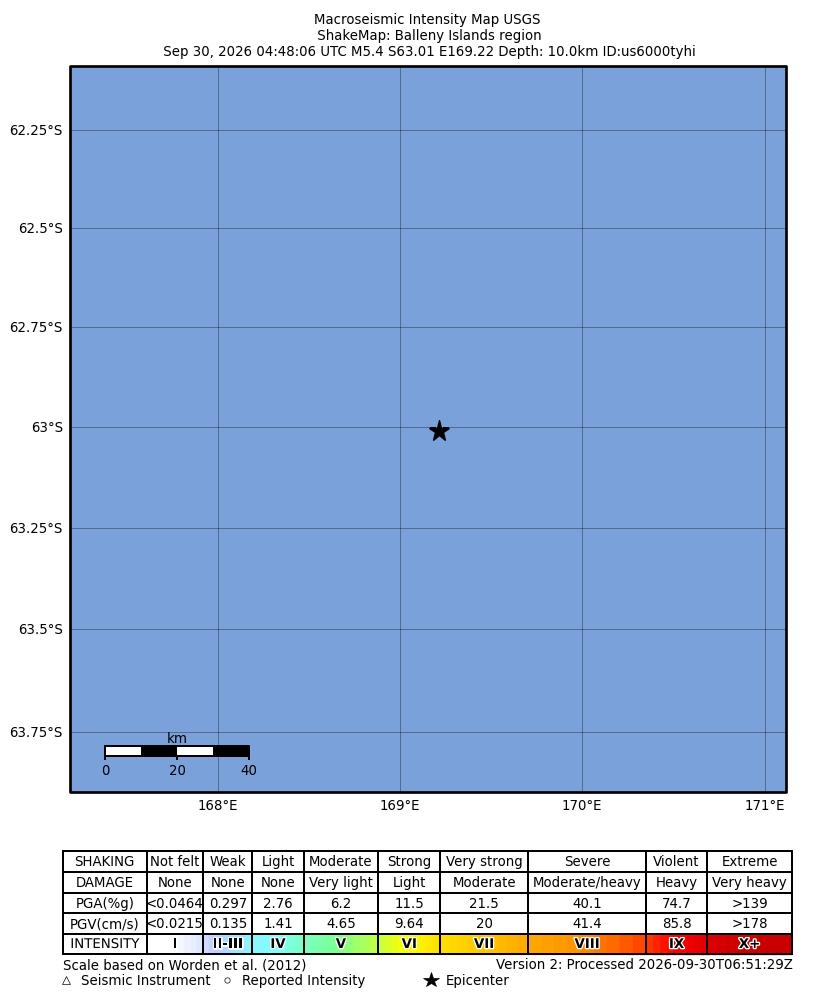
Nearby seismic activity
Within 500 km · M2.5+ · seven days before the event through the latest query, up to seven days after
09-23
0
09-24
0
09-25
0
09-26
0
09-27
0
09-28
0
09-29
0
09-30
1
Query window: 2026-09-23 04:48:06 to 2026-09-30 22:14:41 UTC. This is spatial proximity, not an identified aftershock sequence.
View the USGS catalogue query ↗Magnitude
M 5.4
Scale: mww
Depth
10 km
operator assigned
Reported by people
Not published
Number of felt reports
USGS review
reviewed
Review does not imply final measurements
What the record tells us
USGS reports a magnitude 5.4 earthquake in Balleny Islands region, at a depth of 10 km.
Detailed source data captured 2026-09-30 22:14:41 UTC.
Measurements & confidence
- Event time (UTC)
- 2026-09-30 04:48:06.031 UTC
- Source updated (UTC)
- 2026-09-30 06:53:51.082 UTC
- Location
- -63.009°, 169.216°
- Stations used for location
- 16
- Horizontal error
- 13.03 km
- Depth error
- 1.767 km
- Magnitude error
- 0.073
Errors are the source’s reported uncertainty estimates, not guaranteed bounds. A depth marked “operator assigned” was fixed during analysis.
Shaking & impact
- Instrumental intensity
- 0 MMI
- Felt-report intensity
- Not published
- PAGER impact alert
- green
No published assessment does not mean no shaking or no impact. A magnitude value alone cannot establish damage or a tsunami warning.
Nearby seismic activity
Within 500 km · M2.5+ · seven days before the event through the latest query, up to seven days after
09-23
0
09-24
0
09-25
0
09-26
0
09-27
0
09-28
0
09-29
0
09-30
1
Query window: 2026-09-23 04:48:06 to 2026-09-30 22:14:41 UTC. This is spatial proximity, not an identified aftershock sequence.
View the USGS catalogue query ↗The record as it develops
This timeline begins when our journal started capturing details. It is not a complete USGS revision history.
Captured 2026-09-30 05:22:14 UTC
First detailed capture · M5.4 · 10 km deep · 0 nearby records
Source updated 2026-09-30 05:20:19 UTC
Captured 2026-09-30 06:22:15 UTC
Updated capture · M5.4 · 10 km deep · 0 nearby records
Source updated 2026-09-30 05:20:19 UTC
Captured 2026-09-30 06:52:14 UTC
Updated capture · M5.4 · 10 km deep · 0 nearby records
Source updated 2026-09-30 05:20:19 UTC
Captured 2026-09-30 07:07:14 UTC
Updated capture · M5.4 · 10 km deep · 0 nearby records
Source updated 2026-09-30 06:53:51 UTC
Captured 2026-09-30 08:11:57 UTC
Updated capture · M5.4 · 10 km deep · 1 nearby records
Source updated 2026-09-30 06:53:51 UTC
Captured 2026-09-30 09:12:05 UTC
Updated capture · M5.4 · 10 km deep · 1 nearby records
Source updated 2026-09-30 06:53:51 UTC
Captured 2026-09-30 10:26:58 UTC
Updated capture · M5.4 · 10 km deep · 1 nearby records
Source updated 2026-09-30 06:53:51 UTC
Captured 2026-09-30 11:27:07 UTC
Updated capture · M5.4 · 10 km deep · 1 nearby records
Source updated 2026-09-30 06:53:51 UTC
Captured 2026-09-30 12:41:58 UTC
Updated capture · M5.4 · 10 km deep · 1 nearby records
Source updated 2026-09-30 06:53:51 UTC
Captured 2026-09-30 14:14:40 UTC
Updated capture · M5.4 · 10 km deep · 1 nearby records
Source updated 2026-09-30 06:53:51 UTC
Captured 2026-09-30 15:14:47 UTC
Updated capture · M5.4 · 10 km deep · 1 nearby records
Source updated 2026-09-30 06:53:51 UTC
Captured 2026-09-30 16:29:40 UTC
Updated capture · M5.4 · 10 km deep · 1 nearby records
Source updated 2026-09-30 06:53:51 UTC
Captured 2026-09-30 17:29:41 UTC
Updated capture · M5.4 · 10 km deep · 1 nearby records
Source updated 2026-09-30 06:53:51 UTC
Captured 2026-09-30 18:44:40 UTC
Updated capture · M5.4 · 10 km deep · 1 nearby records
Source updated 2026-09-30 06:53:51 UTC
Captured 2026-09-30 19:44:42 UTC
Updated capture · M5.4 · 10 km deep · 1 nearby records
Source updated 2026-09-30 06:53:51 UTC
Captured 2026-09-30 20:59:42 UTC
Updated capture · M5.4 · 10 km deep · 1 nearby records
Source updated 2026-09-30 06:53:51 UTC
Captured 2026-09-30 22:14:41 UTC
Updated capture · M5.4 · 10 km deep · 1 nearby records
Source updated 2026-09-30 06:53:51 UTC
Magnitude is not shaking
Magnitude describes the earthquake’s size. The shaking experienced at a place depends on distance, depth, local ground conditions and the rupture.
Depth needs context
A reported depth describes the location of the earthquake underground. Some solutions use an assigned depth; uncertainty and review status matter.
Nearby does not mean aftershock
Our regional search finds events by distance and time. Establishing an aftershock sequence requires seismological assessment.
This is a source-linked archive. Source measurements and assessments can change. An archived bulletin is not evidence that a warning is currently active.
In the daily journal
30 September 2026 ↗SOURCE ID usgs:us6000tyhi